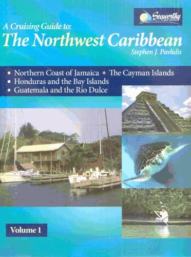
The Northwest Caribbean
Karten Nr.:
RB0235-1
Beschreibung
First new coverage of these Northwest Caribbean regions since 1990. All original charts based on personal surveys conducted by the author. Extensive navigational instructions and GPS waypoints, first ever detailed cruising guide coverage of the Cayman Islands. Includes the northern coast of Jamaica, the Cayman Islands, the Bay Islands and Mainland Honduras, Guatemala and the Rio Dulce. An excellent and much-needed cruising guide to this region. 388 Seiten, viele S/W-Abbildungen und Kartenskizzen, Großformat, Spiralbindung, 2008.
Gebietsvorschau
Mit Hilfe unserer Gebietsvorschau erhalten Sie einen Eindruck davon, mit welcher geografischen Region sich das Produkt auseinandersetzt oder welche Gebiete eine Seekarte abdeckt.
Verwandte Produkte zu diesem Artikel
Bewertungen
Anmelden


