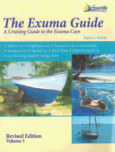
The Exuma Guide - a Cruising Guide to the Exuma Cays

Karten Nr.: RB0288

EUR 66.00*


Produktnummer: 22431

Beschreibung

This is a thoroughly researched and detailed cruising guide to the Exuma Cays. The volume is loaded with detailded information, fabulous charts, photographs and local knowledge. Stephen Pavlidis, who served as a deputy warden of the Exuma Cays Land and Sea Park, wrote this guide after 3 years of extensive research. Nothing has been overlooked as Steve guides you in and out of virtually every navigable harbour, cove, and anchorage, as well as around every major reef, head, sand bank and obstacle throughout the entire Exuma Island chain. Großformat, 283 Seiten, durchgehend farbige Pläne und Fotos, Großformat, Spiralbindung, 2009.
Gebietsvorschau

Mit Hilfe unserer Gebietsvorschau erhalten Sie einen Eindruck davon, mit welcher geografischen Region sich das Produkt auseinandersetzt oder welche Gebiete eine Seekarte abdeckt.

Verwandte Produkte zu diesem Artikel

Verwandte Produkte zu diesem Artikel

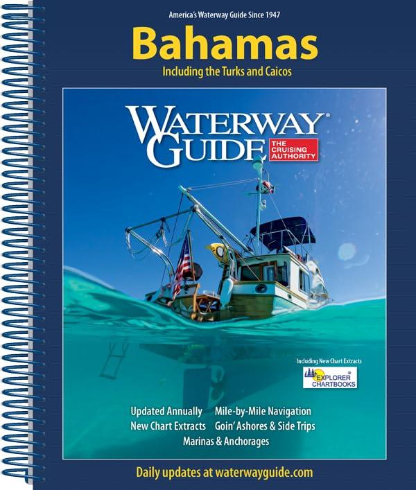
Waterway Guide Bahamas
Törnführer Bahamas

EUR 54.90*
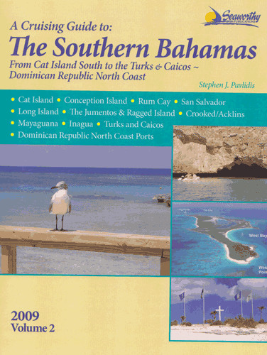
The Southern Bahamas Cruising Guide from Cat Island South to The Turks, Vol. 2
Vollständig aktualisierte Versionen der Pavlidis Bahamas-Führer.

EUR 73.00*
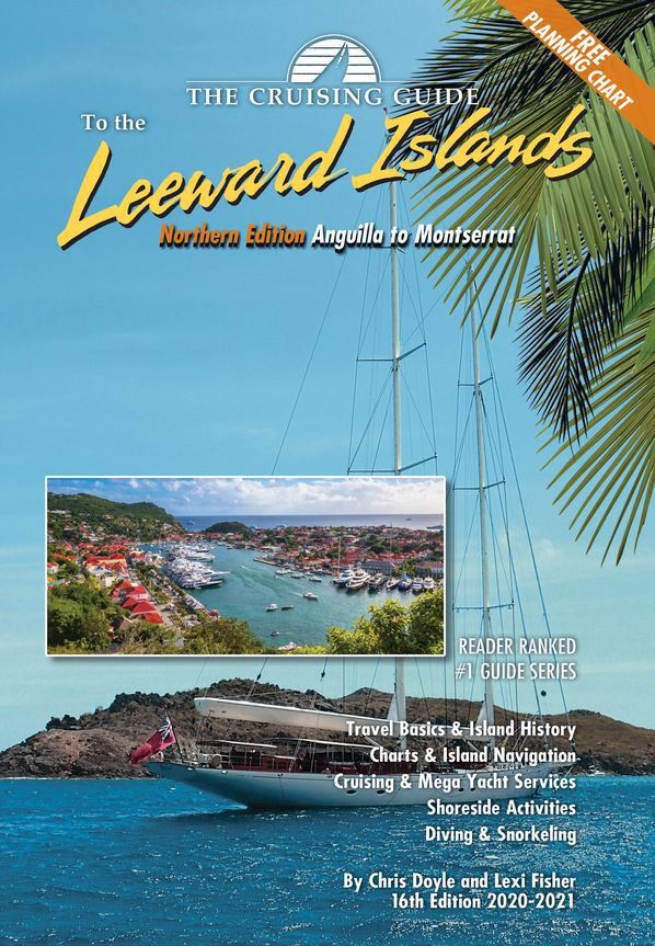
Cruising Guide to the Northern Leeward Islands
Anguilla nach Montserrat

EUR 36.80*
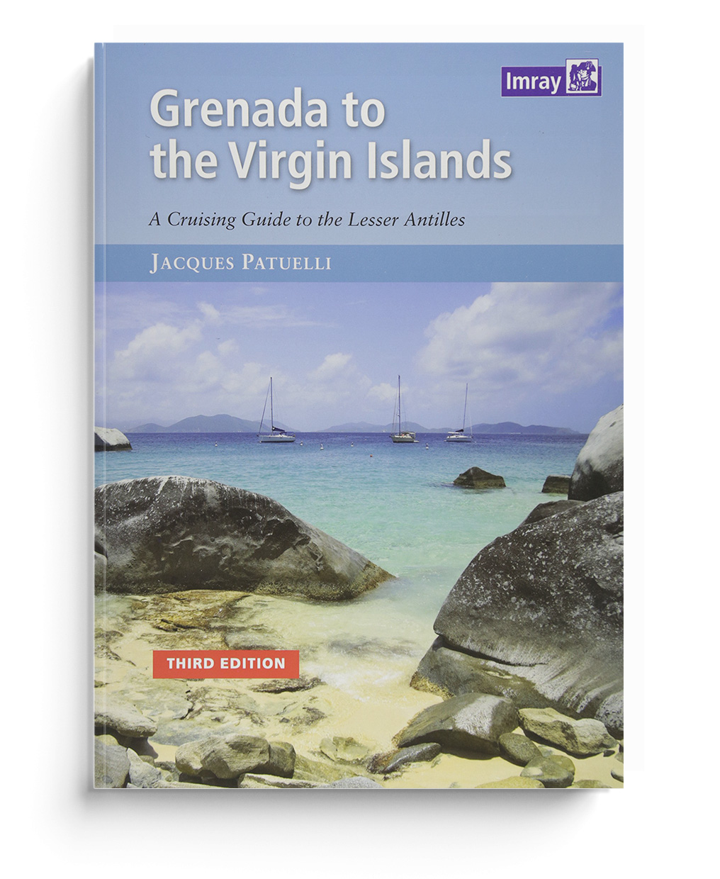
Grenada to the Virgin Islands
Dies ist die englische Ausgabe von Les Petits Antilles - Croisiere et Tourism

EUR 49.80*
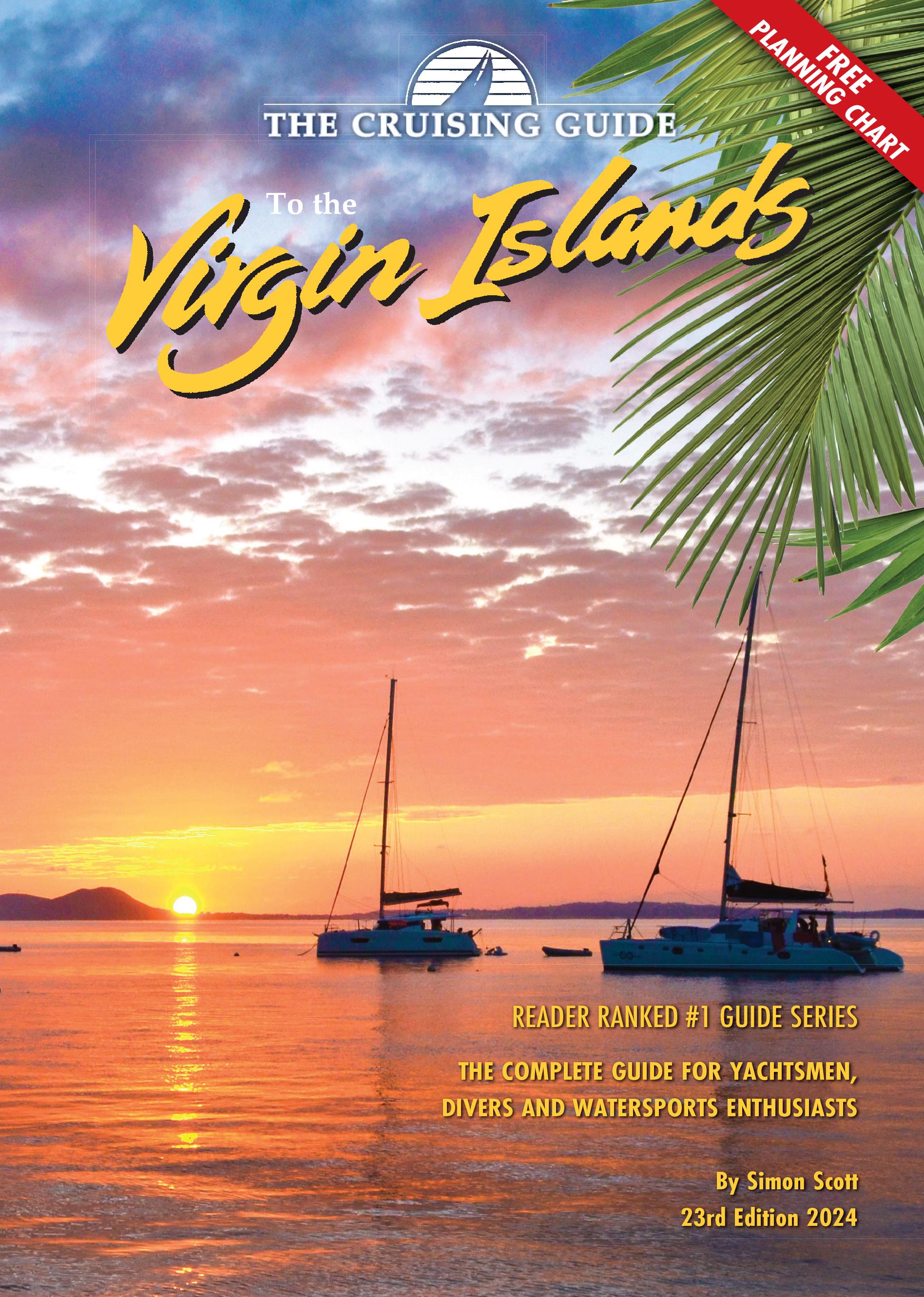
Cruising Guide to the Virgin Islands
Virgin Gorda bis St. Thomas. Ein vollständiger Führer in englischer Sprache

EUR 45.95*
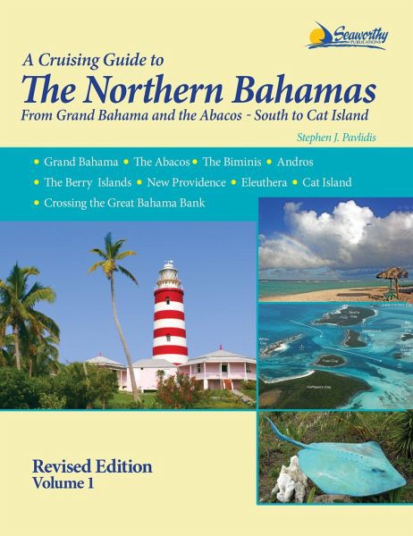
A Cruising Guide to The Northern Bahamas
Vollständig aktualisierte Versionen der Pavlidis Bahamas-Führer.

EUR 73.00*
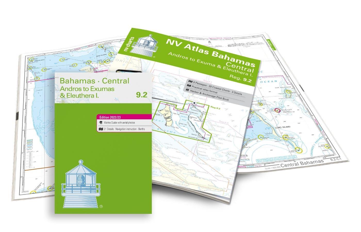
NV Charts Bahamas 9.2 - Central - Andros to Exumas & Eleuthera Islands
Seekarten Zentral-Bahamas mit Andros bis Exumas und Eleuthera Islands

EUR 74.99*

Produkte in der Nähe dieses Artikels

Produkte in der Nähe dieses Artikels

NV Charts Bahamas 9.2 - Central - Andros to Exumas & Eleuthera Islands
Seekarten Zentral-Bahamas mit Andros bis Exumas und Eleuthera Islands

EUR 74.99*
NV Florida - Bahamas & Bermuda Plotterseekarte
Elektronische Seekarte für den Kartenplotter von Fernandina Beach bis zu den südlichen Bahamas.

EUR 129.99*
NV Charts Cuba 10.1 - Northeast Cuba, Cabo Maisi to Varadero
Detaillierte Seekarten für den Nordosten Kubas

EUR 94.99*
Digitale Seekarten für die NV Charts App - Florida und Bahamas
Florida und Bahamas von Fernandina Beach bis Key West inkl. ICW und gesamte Bahamas

EUR 49.90*
Waterway Guide Bahamas
Törnführer Bahamas

EUR 54.90*
A Cruising Guide to The Northern Bahamas
Vollständig aktualisierte Versionen der Pavlidis Bahamas-Führer.

EUR 73.00*
NV Charts Bahamas 9.1 - Northwest - Bimini & Berry Islands - Nassau to Abaco - Grand Bahama
Bimini & Berry Islands, Nassau bis Abaco, Grand Bahama

EUR 74.99*
NV Charts Bahamas 9.3 - Southeast, Cat & Long Island - Rum Cay to Turks & Caicos
Seekarten für die südöstlichen Bahamas und Turks- und Caicosinseln

EUR 74.99*
NV Atlas Florida Southeast Reg. 8.3 - Lake Worth Inlet to Plantation Key
Lake Worth Inlet bis Plantation Key

EUR 49.00*
NV Charts Cuba 10.4 - Southeast - Trinidad to Cabo Maisi
Kubas Südosten von Cienfuegos über Trinidad bis Cabo Maisi

EUR 94.99*
Waterway Guide: Cuba
Hafenhandbuch für Kuba

EUR 59.90*

Bewertungen

0 von 0 Bewertungen

Bewerten Sie dieses Produkt!

Teilen Sie Ihre Erfahrungen mit anderen Kunden.